Useful links and information
Useful links, documents and information
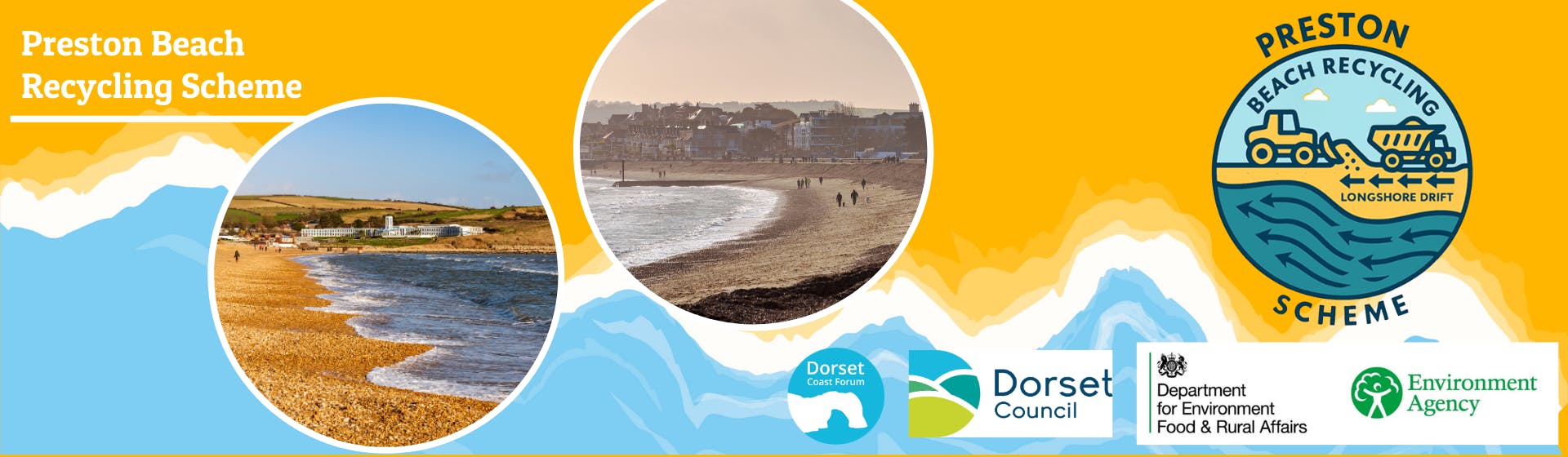
Preston Beach
Preston Beach shoreline management plan - Furzy Cliff to Preston Beach (Rock Groyne) 5G15 | Shoreline Management Plans
Furzey Cliff shoreline management plan - Furzy Cliff 5G14 | Shoreline Management Plans

Preston Beach Tracer Study Report - Environment Agency external corporate report template
A tracer pebble study was conducted at Preston beach, Weymouth between the 18th January 2019 and 14th May 2021 to examine sediment transport pathways and rates of movement. Of particular interest were the movement of pebbles along the beach to the far north and south extremes, noting if there was evidence of transport around the structures of Greenhill rock groyne and the Bowleaze pier.
Shoreline Management Plans (SMPSs)
What are Shoreline Management Plans (SMPs)? - https://www.dorsetcoast.com/shoreline-management-plans/
What is your local SMP? - Shoreline Management Plan (SMP) Explorer

Department for Environment, Food and Rural Affairs (DEFRA)
DEFRA website - Department for Environment, Food and Rural Affairs (DEFRA)
DEFRA flood and coastal erosion risk management policy statement -
DEFRA data services platform - https://environment.data.gov.uk/
Environment Agency (EA)
EA website - Environment Agency (EA)
New national coastal flood and erosion risk information - January 2025 - https://www.gov.uk/guidance/updates-to-national-flood-and-coastal-erosion-risk-information
The coastal handbook: A guide for all those working on the coast - https://assets.publishing.service.gov.uk/government/uploads/system/uploads/attachment_data/file/292931/geho0610bsue-e-e.pdf
You can find links to various flood and coastal erosion tools and information via the EA Blog - Creating a better place January 2025
Marine Management Organisation (MMO)
MMO website - Marine Management Organisation (MMO)
Channel Coast Observatory (CCO)
Website - National Network of Regional Coastal Monitoring Programmes - Welcome
Other links