
Portland Underhill to Wyke Regis Flood and Coastal Risk Management (FCRM) Strategy
Share Portland Underhill to Wyke Regis Flood and Coastal Risk Management (FCRM) Strategy on Facebook
Share Portland Underhill to Wyke Regis Flood and Coastal Risk Management (FCRM) Strategy on X (formerly Twitter)
Share Portland Underhill to Wyke Regis Flood and Coastal Risk Management (FCRM) Strategy on Linkedin
Email Portland Underhill to Wyke Regis Flood and Coastal Risk Management (FCRM) Strategy link
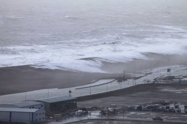
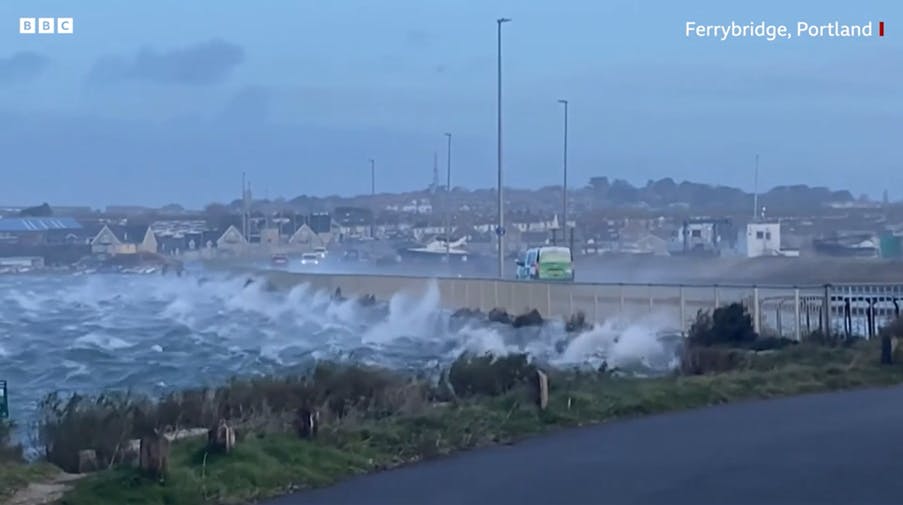
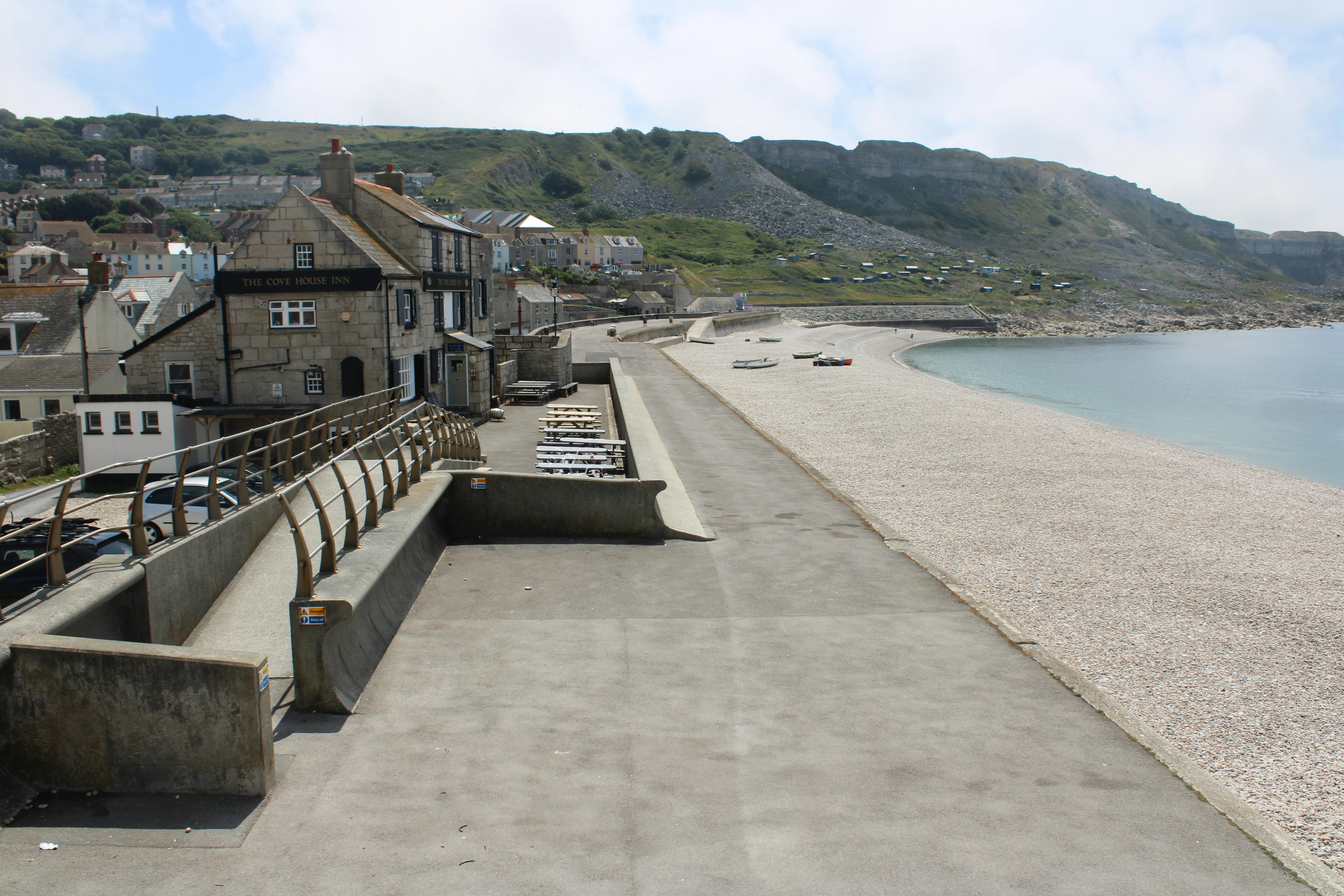
Dorset Council, working in collaboration with partners, are developing a new Flood and Coastal Risk Management (FCRM) Strategy for Portland Underhill to Wyke Regis. Once completed, the new strategy will define the long-term (100 year) sustainable, adaptable and integrated approach for implementing the Shoreline Management Plan policy for coastal flood and erosion risks.
As the project progresses, public consultation events will be available to keep the community informed and involved with opportunities to feedback during the various stages of the proposed strategy.
 |  |  |
 |  |  |
 |  |  |
Page last updated: 28 Jul 2026, 06:03 PM
-

Phone 01305 228494 Email matthew.smith@dorsetcouncil.gov.uk
-
-
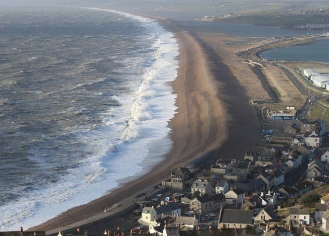
 In certain sea conditions, the normally regular shoreline of the mighty Chesil Beach is transformed into miniature baylets called cusps. Waves gauge hollows in the shingle between protrusions called horns. Chesil is one of the most studied geological features on the planet, and is a gem on the Jurassic Coast on the UK's World Heritage site. Something for the geomorphologists.
Credit: Stuart Morris
In certain sea conditions, the normally regular shoreline of the mighty Chesil Beach is transformed into miniature baylets called cusps. Waves gauge hollows in the shingle between protrusions called horns. Chesil is one of the most studied geological features on the planet, and is a gem on the Jurassic Coast on the UK's World Heritage site. Something for the geomorphologists.
Credit: Stuart Morris
