FAQs
Glossary
GLOSSARY
Want to know more about the key terms in Coastal Management. Take a look at our helpful glossary here
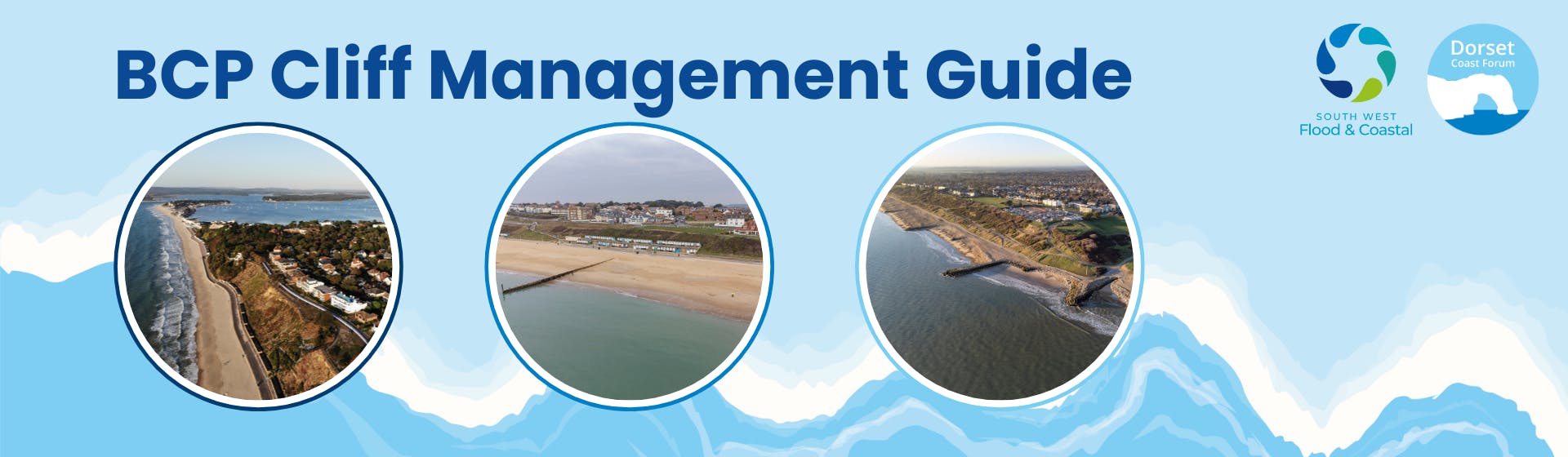
Cliff Management
What is cliff management?
Coastal Management aims to protect property and infrastructure from the eroding forces of wind and waves through the use of hard and soft coastal defences. Cliff management is therefore the taking steps to consider and protect the cliffs within this.
Information on methods for cliff management can be found in our glossary.
What is cliff instability?
Cliff instability occurs when the condition of inclined rock or soil slopes to withstand or undergo movement is exceeded and then cliff slips and falls occur.
How does BCP Council assess cliff stability?
The cliffs across the whole of the BCP area are systematically and repeatedly inspected to assess whether cliff stability issues are present and whether existing cliff stability measures are functioning as they should. Daily inspections across the seafront take place and any signs of cliff instability is reported. Regular inspections of cliff drainage systems also take place to identify maintenance and/or monitoring requirements.
What is cliff erosion?
Coastal erosion is a natural process where material (sediment, rocks and manmade features) is taken away from shorelines by the action of waves, tides and currents (often to be deposited along other parts of the coast or moved to offshore areas). This is not replaced by new material, resulting in the coastline being ‘eroded’. Waves, currents, tides, and wind can all contribute to coastal erosion. Cliff erosion is where this process takes place along the cliffs.
For more information on the methods used for coastal and cliff management across the BCP area take a look at About Coastal Management - Poole & Christchurch Bays Flood and Coastal Erosion Risk Management. Across BCP hard engineering such as sea walls and groynes are used as well as soft engineering options like beach nourishment and managing vegetation.
I’ve seen landslips in the BCP area, why are these happening?
The landslips across the BCP area take place because of many factors include rock type, amount of rainfall and groundwater, measures to mitigate them as well as many other things. Landslips take place all around the coast and so this project aims to build understanding resilience in the community in order to be better prepared for them.
Who decides which cliffs get protection?
The level of protection along the coastline is set out by the Shoreline Management Plan. This is a national scheme and sets out the strategy for coastal management for each section of coast in response to the threats of coastal flooding and erosion.
The Shoreline Management Plan for the BCP area can be found here - Hurst Spit to Durlston Head SMP15 | Shoreline Management Plans

What are BCP Council doing to mitigate the cliff erosion?
There are various projects across BCP to contribute to the coastal management. You can find out more on Poole & Christchurch Bays Flood and Coastal Erosion Risk Management.
The Householder Guide
Why is a cliff management guide needed?
A cliff management guide for BCP will help to build understanding in the community on the activity taking place along the sea cliffs and how the community needs to be aware or take action. The guide will be for all those who live, work or spend time along the cliffs.
One part of this guide may be aimed at householders. A householder guide is a document which sets out information on a specific topic for the community. In this instance it will contain information about how and why cliff falls occur on the BCP Coast, how to spot signs of instability, what to do if you see any signs, information about who manages the cliffs and where responsibilities lie and what can householders do in the process. Nothing currently exists for the BCP area and there is a mixture of land ownership along the clifftops.
This initial engagement will establish the level of understanding in the community of cliff management and where the responsibilities lie. The guide can then be tailored to include the best information for the community in order to be a useful resource.
Are there any examples of this type of guide?
Although not specifically for cliff management other documents like this do exist. Examples can be found here:
Produced in 2014 through the DCF partnership project Living with a Changing Coast, the North Swanage Householder Guide remains a valuable document which the project team aspires to update with the help of the local community and partners. Living with a Changing Coast was a European funded project which brought together key stakeholders and as well as the practical guide, also funded the signage that remains in place today near the beach in North Swanage.
North Swanage Householder Guide: https://www.dorsetcoasthaveyoursay.co.uk/39223/widgets/118462/documents/83655
Hastings Borough Council - Landslide Toolkit: https://www.dorsetcoasthaveyoursay.co.uk/39223/widgets/118462/documents/83658
Coastal Slop Stability at Gurnard on the Isle of Wight: https://www.dorsetcoasthaveyoursay.co.uk/39223/widgets/118462/documents/84378
Ventnor Undercliff - Advice for Homeowners: https://www.dorsetcoasthaveyoursay.co.uk/39223/widgets/118462/documents/84379
Shoreline Management Plans
Shoreline Management Plans (SMPs) set out a planned approach to managing flood and coastal erosion risk around the coast of England over the next century. Dorset Coast Forum have created a useful SMP Guide(External link) to SMPs with links to the Environment Agency SMP Explorer(External link) and Environment Agency SMP guidance(External link).
Connect with coastal erosion information
You can find links to various flood and coastal erosion tools and information via the EA Blog - Creating a better place January 2025(External link)
Education Hub
Dorset Coast Forum's Education Hub(External link) is designed to provide students and teachers at schools, colleges, and universities access to a wealth of educational resources, free downloadable lesson plans, videos and career information related to the Dorset coast. If you are a teacher interested in connecting your students with the coast, please contact Dorset Coast Forum or visit the Education Hub.
When will the guide be ready?
The development of the Cliff Management Guide began in Spring 2025 and should take about nine months to complete. Communication, engagement and consultation will be conducted throughout the whole project.
How will I receive a guide?
This will be an online resource and will be shared via local news and email channels. You can sign up to be involved in the process and then receive the guide through the links on the webpage.
General
- Two Bays Website
- BCP Seafront Projects Website
- BCP Cliff Management Householder Guide | Dorset Coast Have Your Say
- Signs of a recent landslide (rocks at the bottom of the cliff)
- Angular rocks
- Cliffs that have been undercut (leaving the upper part of the cliff as an overhang)
- Water coming out of the cliffs
- Cracks or changes in the cliff face
- Rock on the cliff face which looks a different colour
- Cracks in the ground on the clifftop
Who are South West Flood and Coastal?
Since September 2021, the BCP Flood & Coastal Erosion Risk Management (FCERM) team has been providing support and guidance to other South-West local authorities including New Forest, Dorset, Exeter, Teignbridge and Torridge. Subsequently a new joint service was established between BCP and East Devon District Councils.
The new shared service will operate under the name South West Flood and Coastal which recognises the broader support also provided to neighbouring authorities.
As well as designing and delivering large government funded projects, the main functions of the joint FCERM service will be to set long term Policies and Strategies for managing flood and coastal erosion risk, maintaining FCERM assets and influencing the industry through sound research and innovation.
I’ve seen goats on the cliffs, why are they there?
Back in 2012, the council developed a conservation management plan focusing on preserving and protecting the cliffs and the goats are a part of this. The goats have nine grazing pens, managed by a grazier, and browse the gorse, allowing more light into the ground and a wider range of plant species to grow.
Vegetation helps to strengthen the cliff structure and increase cohesion, which will help to keep the cliff in place and prevent cliff material from slumping as well as landslides.
You can find out more about the goats here.
Who is responsible for the cliffs across BCP?
This depends on the ownership of the land above and below as well as many other factors.
Where can I find information on the cliff I live near / on?
The householder guide will compile all the information into one place.
Information can currently be found in several places.
The links to these are in our important links section here:
>> Important Links | BCP Cliff Management Householder Guide | Dorset Coast Have Your Say
Shoreline Management Plans
Shoreline Management Plans (SMPs) set out a planned approach to managing flood and coastal erosion risk around the coast of England over the next century. Dorset Coast Forum have created a useful SMP Guide(External link) to SMPs with links to the Environment Agency SMP Explorer(External link) and Environment Agency SMP guidance(External link).
Connect with coastal erosion information
You can find links to various flood and coastal erosion tools and information via the EA Blog - Creating a better place January 2025(External link)
Education Hub
Dorset Coast Forum's Education Hub(External link) is designed to provide students and teachers at schools, colleges, and universities access to a wealth of educational resources, free downloadable lesson plans, videos and career information related to the Dorset coast. If you are a teacher interested in connecting your students with the coast, please contact Dorset Coast Forum or visit the Education Hub.
I am a homeowner concerned about the cliffs, what should I do?
In an emergency situation you should contact 999.
If you spot signs of erosion, you should contact BCP Council who may be able to help determine the ownership of the cliffs in the first instance
If you have any concerns about the stability of sea cliffs, you can email coastal@bcpcouncil.gov.uk. The team will assess, respond and provide Geotechnical advice to BCP Council where appropriate. The work can range from communicating with the public and cliff monitoring to working with geotechnical consultants to undertake stability assessments and designing new cliff stabilisation schemes. On occasion it may also be necessary to suspend the use of beach huts for safety reasons. The safety of residents and visitors is our utmost priority.
Signs of cliff erosion include the following: